
The Nippon Foundation, JHA Launch Joint Project for Japan’s First Aerial Mapping of Nationwide Coastal Waters

The Nippon Foundation and the Japan Hydrographic Association (JHA) have launched a 10-year joint project to map the undersea topography of Japan’s shallow coastal waters from the air.
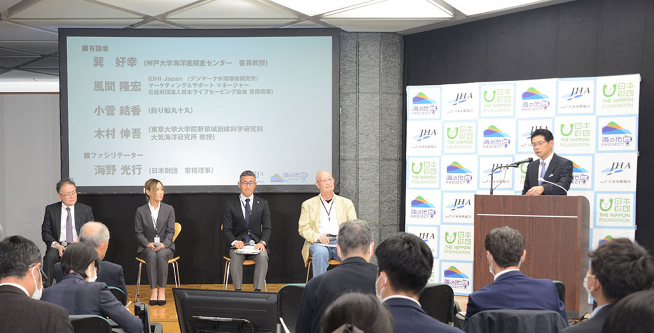
I told a press conference on October 24 that the project, dubbed the Umi-no-Chizu Project (Map of the Sea Project), will feature Airborne LiDAR Bathymetry (ALB) to create “ocean maps” of roughly 90% of the country’s approximately 35,000 kilometers of shoreline up to a depth of 20 meters. The remaining 10% consist of no-fly zones above nuclear reactors as well as the shorelines of remote islands with no airport.
This is the first nationwide mapping project to use ALB, according to the foundation.
Mr. Mitsuyuki Unno, executive director of the foundation, said the project will cost between 15 and 20 billion yen (about $106 and 142 million) over 10 years.
So far, topographical measurements of Japan’s shallow coastal waters have been taken primarily by using echosounders on ships. In recent years, however, it has become possible to take these measurements from airplanes.
But there has not been major progress in utilizing the new technology due in part to the lack of coordination among government agencies concerned, including the Ministry of Land, Infrastructure, Transport and Tourism, the Environment Ministry, the Fisheries Agency, and the Japan Coast Guard, Mr. Unno said.
As a result, less than 2% of the nation’s coastal waters have been mapped using ALB.
Information on seafloor topography gathered from airplanes is extremely precise, and can be used to create much more detailed maps than is possible using measurements from ships.
The information gained will be used to create a database that will give us a better understanding of events that occur in the ocean and contribute to the prevention of marine accidents and to disaster prevention and mitigation-such as through improved tsunami projections-while enhancing research and technologies related to understanding and preserving biodiversity and environmental education.
ALB being used in this joint undertaking projects infrared and green lasers from the air to take underwater topographical measurements in areas where the water is highly transparent, up to a depth of roughly 20 meters.
This makes it possible to collect seamless data from land to shallow waters where it is difficult to take measurements from ships, and to collect detailed data over large areas with a high degree of efficiency.
I told the press conference: “Globally, humans have made detailed surveys of land topography. But even though the Earth is said to be a water planet, the ocean’s topography has hardly been surveyed at all.”
It was on October 23 about 200 years ago when the first map of Japan was completed based upon measurements taken by Mr. Tadataka Ino (1745-1818), a renowned surveyor and cartographer who spent 17 years surveying the country using modern scientific techniques. “Today on October 24, we are embarking on this new ambitious mapping project,” I told the press conference.
Mr. Shigeru Kato, president of JHA, said this project will employ the new technology of aerial measurement using laser beams, and will create unprecedented underwater topographical data, adding: “Through this revolutionary project, we hope to contribute to finding solutions to various ocean issues.”


