
4 Gigantic Seamounts Discovered Off South America by Seabed 2030 Partner Institute

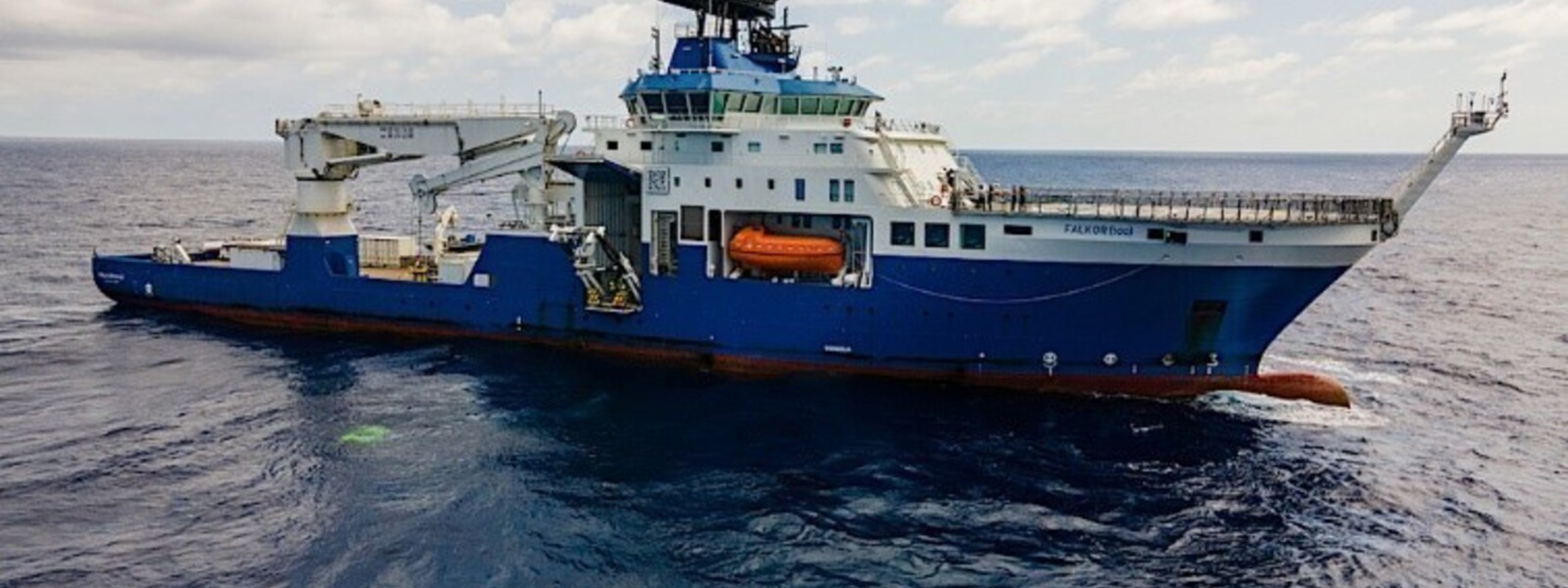
The crew of Schmidt Ocean Institute of the United States has discovered and mapped four giant underwater mountains in the deep sea during a mapping expedition from Costa Rica to Chile aboard the research vessel Falkor (too).
The Palo Alto, California-based institute is a partner of The Nippon Foundation-GEBCO Seabed 2030 Project, which aims to map the entirety of the world's seafloor by the end of the current decade.
The largest of the four seamounts discovered by the institute’s experts is 2,681 meters tall, covers 450 square kilometers, and sits 1,150 meters below the surface. The three other peaks measured 1,591 meters, 1,644 meters and 1,873 meters tall respectively.
They were discovered as the vessel collected mapping data as it transited from Golfito, Costa Rica, to Valparaiso, Chile, in January, the institute said in a recent press release.
Using multibeam mapping, Mr. John Fulmer and Mr. Tomer Ketter, Schmidt Ocean Institute’s marine technicians and trained hydrographic experts, confirmed that the seafloor features had not been previously included in any bathymetric database.
These giant underwater peaks, which are all extinct volcanoes, are so massive that changes in the shape of the seafloor appear as very slight shifts in the Ocean surface-a deep trench will cause a slight depression, and a mountain can create an almost imperceptible bump on top of the Ocean. These subtle clues can help experts make discoveries and create better, more detailed maps of the seafloor.
“We were fortunate enough to be able to plan an opportunistic mapping route using these gravity anomalies in satellite altimetry data,” said Mr. Fulmer, adding: “Examining gravity anomalies is a fancy way of saying we looked for bumps on a map, and when we did, we located these very large seamounts while staying on schedule for our first science expedition in Chile.”
Whenever sea conditions permit, the crew collects mapping data as the research vessel moves, or transits, from one location to another. Since 2012, scientists on Schmidt Ocean Institute’s research vessels Falkor and Falkor (too) have mapped about 1.5 million square kilometers and discovered 29 seamounts, hills, and trenches.
Underwater mountains and trenches often host deep-sea coral reefs, sponges, and anemones living alongside organisms that find food, shelter, and a rocky surface to cling to along mountain slopes.
“A map is a fundamental tool for understanding our planet. Locating seamounts almost always leads us to understudied biodiversity hotspots,” said Dr. Jyotika Virmani, executive director of Schmidt Ocean Institute. “Every time we find these bustling seafloor communities, we make incredible new discoveries and advance our knowledge of life on Earth.”
The absence of detailed underwater topography, or bathymetric data, hinders the ability to manage marine resources sustainably, safely navigate vessels at sea, and safeguard coastal communities.
Mr. Jamie McMichael-Phillips, project director of the Seabed 2030 project stated: “These incredible discoveries by Schmidt Ocean Institute underscore the importance of a complete map of the seabed in our quest for understanding Earth’s final frontier,” adding: “With 75 percent of the ocean still to be mapped, there is much to be uncovered. Ocean mapping is crucial to our understanding of the planet and, in turn, our ability to ensure its protection and sustainable management.”
Seabed 2030 is a collaborative project between The Nippon Foundation and the General Bathymetric Chart of the Oceans (GEBCO) to inspire the complete mapping of the world's oceans by 2030, and to compile all bathymetric data into the freely available GEBCO Ocean Map. When the initiative was launched in 2017, only 6% of the world’s ocean floor had been mapped in high resolution.
On the occasion of World Hydrography Day on June 21, 2024, the Seabed 2030 project released the latest GEBCO Grid figure, showing 26.1% of the world’s entire seabed has now been mapped. This marks an increase of 4.34 million square kilometers of new data from a year earlier, equating to an area the size of the European Union.
