
Supported by The Nippon Foundation, Multinational Team to Survey Seabed Around Tonga Volcano After January Eruption

The Nippon Foundation and New Zealand’s National Institute of Water and Atmospheric Research (NIWA) have decided to survey the seabed around the Hunga-Tonga Hunga-Ha'apai volcano in the South Pacific island kingdom of Tonga after the devastating eruption in January.
The Nippon Foundation-NIWA Tonga Eruption Seabed Mapping Project (TESMaP) is also supported by The Nippon Foundation-GEBCO Seabed 2030 Project, which aims to map the entirety of the world’s ocean floor by 2030.
The eruption of the underwater Hunga-Tonga-Hunga-Ha'apai volcano on January 15 is thought to be the biggest volcanic activity recorded since Mount Pinatubo erupted in the Philippines in 1991.
The tsunami generated by the eruption destroyed over 600 structures, including at least 300 residential houses, displacing 1,525 persons and causing four deaths, according to the Tonga government. It also severed the fiber optic undersea cables connecting Tonga to the world. The direct economic impact of the eruption is estimated by the World Bank to be over $90 million.
Mr. Rob Murdoch, General Manager - Science/Deputy Chief Executive of NIWA, said at an online media conference on April 1 that the aim of the project was to map the undersea changes to the shape of the volcano, the spread of sediment, and determine the impact on sea life.
Welcoming the formation of the multinational survey team, I noted this research is vital to help protect people from similar natural disasters in the future.
“We hope that this work will help researchers and governments understand and mitigate the risk of future eruptions, which will be of particular benefit to countries that lie within proximity of these threatening natural wonders, like Japan and New Zealand.”
The TESMaP project, the first survey of the seabed around the volcano since the catastrophic eruption, will take place in two parts and cover about 8,000 square kilometers of the seafloor and collect video images of the eruption’s impact.
In mid-April, NIWA is beginning a month-long investigation around the volcano using its research vessel Tangaroa and deploying a multitude of instruments to measure water properties and to retrieve samples from the seafloor.
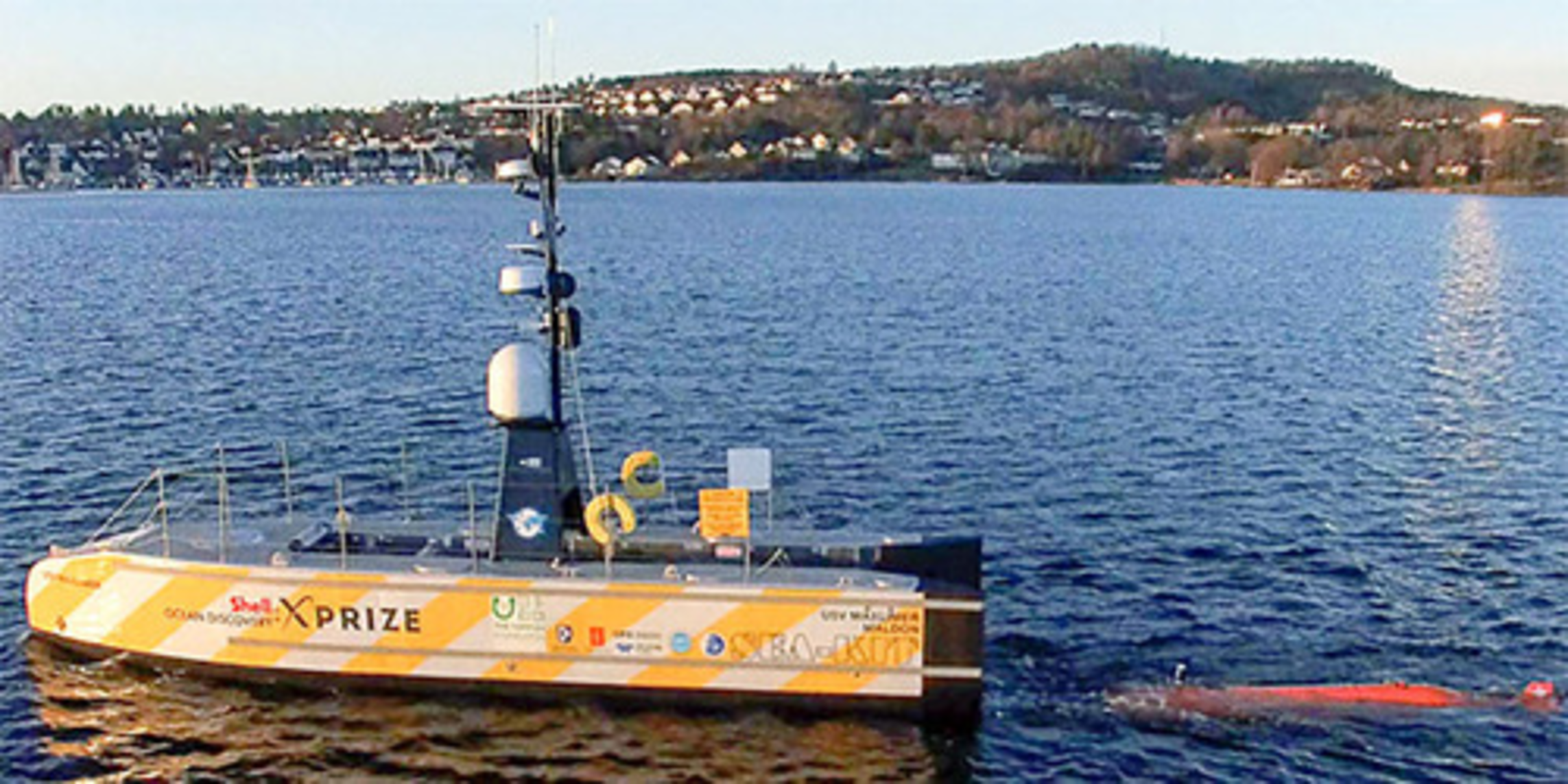
In the second part, the 12-meter-long USV (uncrewed surface vessel) Maxlimer developed by SEA-KIT International of Essex, England, will spend an additional month directly on top of Hunga-Tonga's submerged opening, or caldera, in coordination with Seabed 2030, for mapping its current shape.
It will also lower cameras and instruments to measure environmental conditions, such as the oxygen content and cloudiness of the seawater, that have an impact marine life.
Both Tangaroa and Maxlimer will deploy echosounders to trace the depth and shape of the seafloor at high resolution. The volcano has an elevation of some 1,800 meters from the ocean bed. By the time the two vessels have surveyed the seamount, they could acquire data across at least 8,000 square kilometers.
Between New Zealand and Tonga, there are 76 undersea volcanoes, of which about 80 percent are known to be active.
We plan to announce the results of the survey around July. 

|