
Australian Government Body Joins Seabed 2030 Project to Advance Mapping of World’s Entire Ocean Floor (1)
Published on December 16, 2024

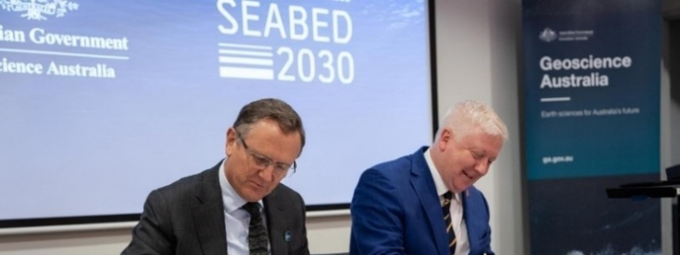
The Nippon Foundation-GEBCO Seabed 2030 Project has entered a new partnership with Geoscience Australia, which becomes the first Australian government organization to join the ambitious global initiative aimed at completing the mapping of the entire ocean floor by the end of the decade. The Memorandum of Understanding (MoU) was signed between Seabed 2030 Director Jamie McMichael-Phillips and Dr. James Johnson, Chief Executive Officer of Geoscience Australia, at a ceremony held at the latter’s headquarters in Symonston, Canberra, on October 30. The Australian institution has thus joined some 290 partners, contributors and supporters from more than 50 countries that have officially signed on to Seabed 2030. Under the MoU, Geoscience Australia will play an active role in supporting Seabed 2030’s mission by contributing vital bathymetric data to further enhance the global understanding of the seafloor. A key component of this collaboration is the AusSeabed initiative, a national seabed mapping collaboration that coordinates and publishes seabed mapping data from across the Australian region. Through AusSeabed, Geoscience Australia will provide high-quality, accessible mapping data, bolstering Seabed 2030’s efforts to create a seamless digital map of the world’s ocean floor. Seabed 2030 is a collaborative project between The Nippon Foundation and the General Bathymetric Chart of the Oceans (GEBCO), which seeks to inspire the complete mapping of the world’s ocean by 2030, and to compile all the data into the freely available GEBCO Ocean Map. The project is formally endorsed as a Decade Action of the UN Ocean Decade. GEBCO is a joint program of the International Hydrographic Organization (IHO) and the Intergovernmental Oceanographic Commission (IOC), and is the only organization with a mandate to map the entire ocean floor. “Welcoming Geoscience Australia as a partner marks a significant step forward in the global pursuit of a fully mapped ocean floor,” commented Mr. McMichael-Phillips, adding: “This partnership underscores the power of collaboration across national and regional boundaries, drawing on Australia’s breadth of seabed data and expertise. Together, we are moving closer to achieving a comprehensive map of the ocean and we look forward to working closely with Geoscience Australia to advance our ambitious mission.” Dr. Johnson said: “We are thrilled to formalize our partnership with Seabed 2030 and cement our place in the global effort to map the world’s seabed by 2030. Seabed 2030 is an important part of the global effort to map the world’s seabed by 2030 and Geoscience Australia is a proud contributor to this project.” Dr. Jodie Smith, Head of Oceans, Reefs, Coasts and the Antarctic Branch, explained that Geoscience Australia has committed to providing data to Seabed 2030 on behalf of the Australian seabed mapping community and said: “We publish seabed mapping data through the AusSeabed data portal, and this data supports decision-making across a range of marine applications, including offshore renewable energy, hazard modelling and marine park management.” Australia has one of the largest marine jurisdictions in the world and is responsible for around 4% of the world’s oceans, according to Geoscience Australia. “To manage this resource sustainably, seabed mapping data is necessary because it allows us to better understand the environment, which improves decision-making and supports the sustainable growth of Australia’s ocean economy,” Dr. Smith explained, adding: “We have made great progress, but there is a lot more work still to be done.” On the occasion of World Hydrography Day on June 21, 2024, the Seabed 2030 project released the latest GEBCO Grid figure, showing 26.1% of the world’s entire seabed has now been mapped. Seabed mapping data has wide-ranging applications in fields including ocean circulation and climate modeling, resource management, tsunami forecasting, cable and pipeline routing, and management of fragile marine ecosystems, and contributes to our understanding of environmental change, underwater geohazards, and sediment transportation, among others. (To be continued) |