
Australian Government Body Joins Seabed 2030 Project to Advance Mapping of World’s Entire Ocean Floor (2)
Published on December 16, 2024

The signing of the Memorandum of Understanding (MoU) between The Nippon Foundation-GEBCO Seabed 2030 Project and Geoscience Australia followed the milestone achieved by Fugro N.V., a Dutch multinational company headquartered in Leidschendam, the Netherlands, which has successfully completed an extensive mapping survey in the North Sea off Norway.
Fugro’s survey work was for the 2024 MAREANO seabed mapping program, including an innovative environmental DNA (eDNA) service, as part of a hydrographic survey contract awarded by the Norwegian Hydrographic Service (NHS).
Supported by the Central Government of Norway, MAREANO is a multidisciplinary initiative aimed at mapping the seabed to generate scientific information for the responsible management and preservation of Norway’s marine resources.
In addition to supporting the MAREANO program, Fugro is also a major contributor to The Nippon Foundation-GEBCO Seabed 2030 Project, a project dedicated to mapping the entire ocean floor by 2030. Fugro’s contribution to this international effort highlights the importance of collaborative data sharing in advancing oceanographic research and protecting marine ecosystems.
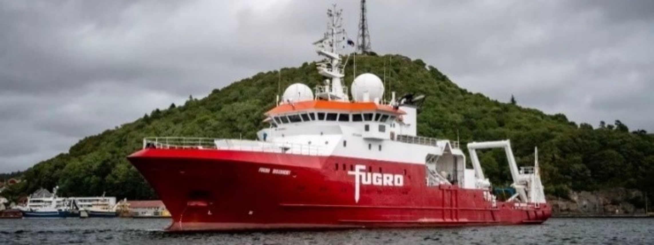
Fugro’s survey covered an extensive 2,823 square-kilometer region in the North Sea, with water depths ranging from 146 to 337 meters. Employing the Fugro Discovery vessel, equipped with state-of-the-art high-resolution multibeam echo sounders and sub-bottom data acquisition systems, the primary goal was to gather seamless datasets, integrating bathymetry, water column and acoustic backscatter data.
Fugro employed cutting-edge sensors and advanced calibration techniques tailored to these challenging conditions. The survey was completed in September and work was
progressing on the final reports and data that will be available via VirGeo®, Fugro's web-based Geo-data platform.
For the first time in the MAREANO program’s history, Fugro integrated eDNA sampling into the data collection process. This cutting-edge approach provides valuable insights into biodiversity and community composition, which are essential for projects aiming for net biodiversity gain and for monitoring endangered and invasive species. eDNA enhances existing environmental sampling programs to gain deeper ecological insights, complementing other survey activities such as metocean, geophysical, and geotechnical surveys.
Ms. Nicolien Haasbroek, project engineer for MAREANO in the Norwegian Mapping Authority, commented: "The last few years, the MAREANO program has placed emphasis on the North Sea. There is a need for marine knowledge in areas considered to be particularly valuable and vulnerable. This marine knowledge is also relevant for the new marine industries-such as offshore wind and offshore aquaculture.”
Mr. Marc Kebbel, Fugro’s Service Line Director Hydrography for Europe and Africa, said: "MAREANO is the largest multidisciplinary mapping program of its kind in Norway and we are excited to continue our support for the project. Our knowledge of the marine environment and innovative techniques allow us to collect high-quality Geo-Data that deepens our understanding of the seafloor and supports scientific discoveries; to keep our oceans healthy and help manage them sustainably.”
(End) |